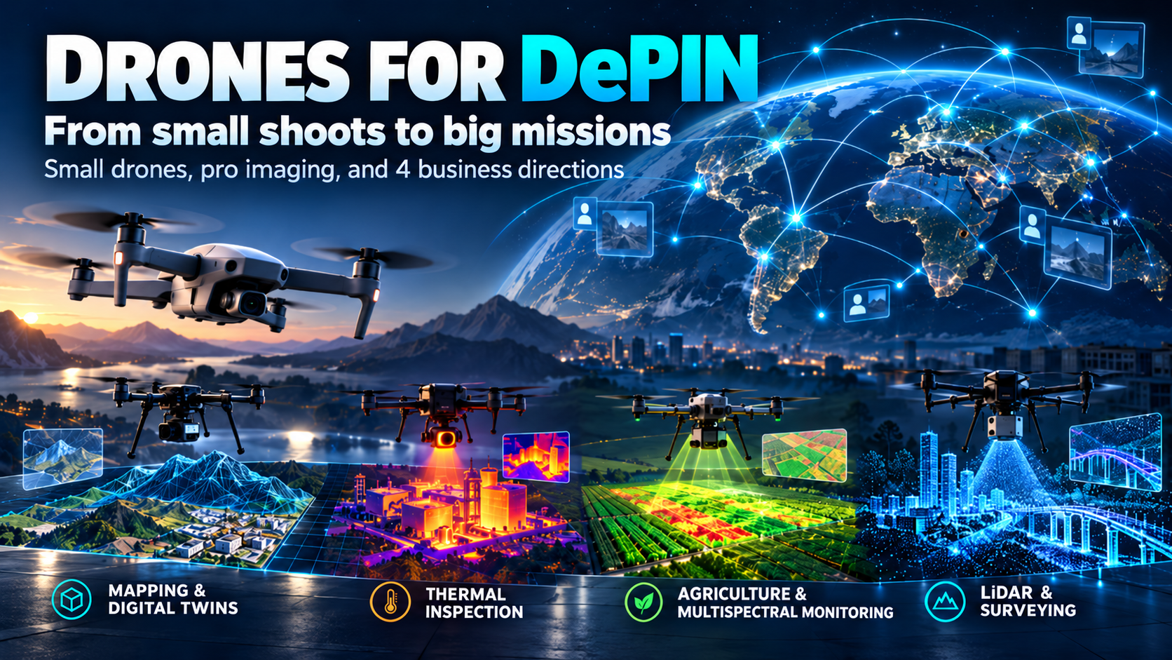
Many people already own a drone. A small quadcopter lies at home, goes on vacation, capturing the sea, mountains, the roof of a house, or a family video. It’s inexpensive, simple, and usually seen as just a flying camera.
But looking at a drone not as a toy but as an internet-connected device reveals a completely different picture.
There’s a drone. There’s an operator. There’s the internet. And somewhere on the other side of the network, there’s a person or company that needs filming, a map, an inspection, or measurements.
This is where ordinary photography starts turning into the DePIN economy.
Small drones: start with what you already have at home
The simplest level is an ordinary compact drone with a camera— the kind people buy for travel, video, and photography.
It doesn’t have to be an industrial device costing tens of thousands of dollars. For some network tasks, other factors matter more: where the pilot is located, whether it is legal to fly the drone there, the camera quality it provides, and whether there’s local demand for filming.
The internet in this case connects two sides. On one side — the drone owner. On the other — a request for images or data from a specific location.
In other words, a small drone stops just waiting for the next vacation. It becomes a working tool.
Do you already have a regular drone?
At DePIN World you can first check whether it’s suitable for such a scenario and see the connection process without buying professional equipment.
Connection cost — $19.
But drones can do much more than take beautiful photos
The next level is no longer "shooting a pretty shore," but performing specific expensive work.
Here, the drone becomes part of a professional service. The client doesn’t need the device itself. They need the result: a plot map, thermal image of a building, field condition, or accurate digital model of the area.
And again, the same simple scheme applies:
client → internet → operator → drone → ready data.
To a person, this looks a lot like DePIN: the physical equipment is with you, and the demand and orders come through a digital network.
Four major directions
1. Mapping and Digital Twins
Such a drone shoots an area not for a beautiful video but gathers material that can be used to build a map, terrain model, construction plan, or digital copy of an object.
This is useful for construction companies, land surveyors, developers, owners of large plots, and anyone who needs to see an object from above not just by eye, but as a working model.
See the Mapping & Digital Twin direction →
2. Thermal Inspection
Here, the drone looks not only through a normal camera but also by temperature.
This allows inspecting solar panels, roofs, industrial facilities, power lines, buildings, and large surfaces. Thermal imaging quickly reveals areas that overheat, lose heat, or behave differently from neighboring elements.
For the client, this is no longer photography. It’s a way to find problems faster without sending a person to manually inspect a large object.
See the Thermal Inspection direction →
3. Agriculture and Multispectral Monitoring
From the air, a field looks green. For a professional drone, that’s not enough.
Special shooting helps identify where plants develop worse, where the field differs in condition, and where irrigation, nutrition, or other conditions require closer inspection.
For large farms, this saves time: instead of walking hundreds of hectares, they first get a general overview from above and then only send people where there really is an issue.
See the Agriculture Multispectral direction →
4. LiDAR and Geodetic Surveying
This is the most serious class of tasks.
The drone collects spatial data and helps build accurate models of terrain, structures, and infrastructure. Such work is used where ordinary photography isn’t enough: surveying, complex terrain, construction, infrastructure objects.
The equipment here is more expensive, but the task itself is on another level. The client pays not for the flight itself but for precise data that can be further used in design and work.
See the LiDAR Survey direction →
Main idea: the drone is not the business. Business starts with the task.
You can buy a very expensive drone and leave it on the shelf.
Or you can have a simple drone and find a clear network task for it.
That’s why we look at drones not from the perspective of "which model is cooler" but from the market perspective:
what your equipment can do, who needs the result, and how the order connects with the operator via the internet.
For a small drone, this might be the first step and small tasks. For a professional system — it’s already a separate business direction.
Drone Business: four ready-made directions
If you’re considering drones already as a business and not just a hobby, we have compiled four separate configurations:
🗺️ Mapping & Digital Twin
🌡️ Thermal Inspection
🌾 Agriculture Multispectral
📡 LiDAR Survey
For each direction, we show what equipment is required, how the kit is assembled, how the workflow is built, and where to find customers.
Access to Drone Business — $399.
There is a huge price gap between a small drone for regular filming and a professional device costing tens of thousands of dollars.
But their logic is the same:
the physical device is with you, and useful work comes through the network.
That is exactly why drones fit so well into the DePIN World concept.